Get to Know BP Hands-On Maps
BP Hands-On Maps are geography workbooks to go with the lessons in Remember the Days and Consider the Years / Companion. Why do history students need geography workbooks? Because for BP students, geography and history go hand-in-hand. Map work shows students where history happened and how geography can affect history.
BP offers two levels of Hands-On Maps for two sets of grade levels. Click the titles below for more info and samples, or watch our video introduction.
Two Levels of BP Hands-On Maps:
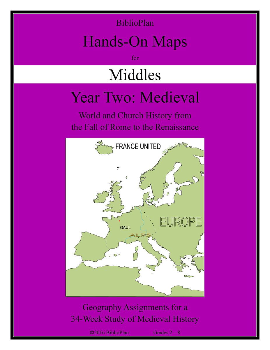
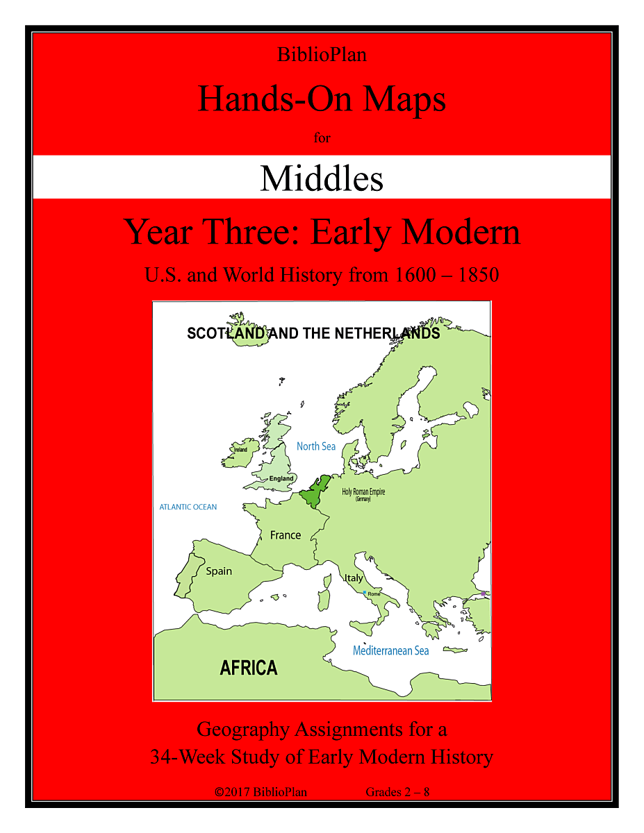
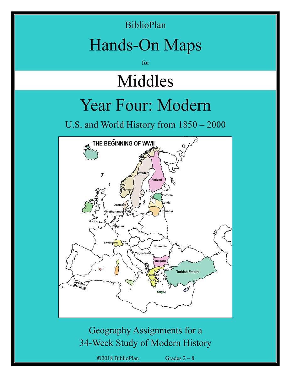
Hands-On Maps for Middles, Grades 2 - 8
Hands-On Maps for Middles are fun geography assignments for Remember the Days readers. Students complete one or two maps per week, depending on the topics covered that week. The directions are printed right on the page, which makes our maps easy to manage. A typical set of directions has students labeling countries, coloring bodies of water, and drawing symbols to show who went where.

Click the covers to see Hands-On Maps for Middles sample pages:
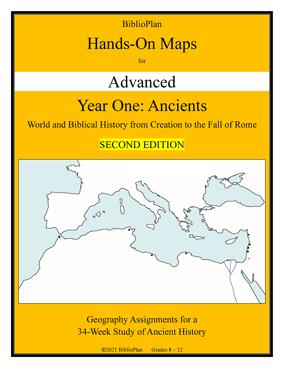
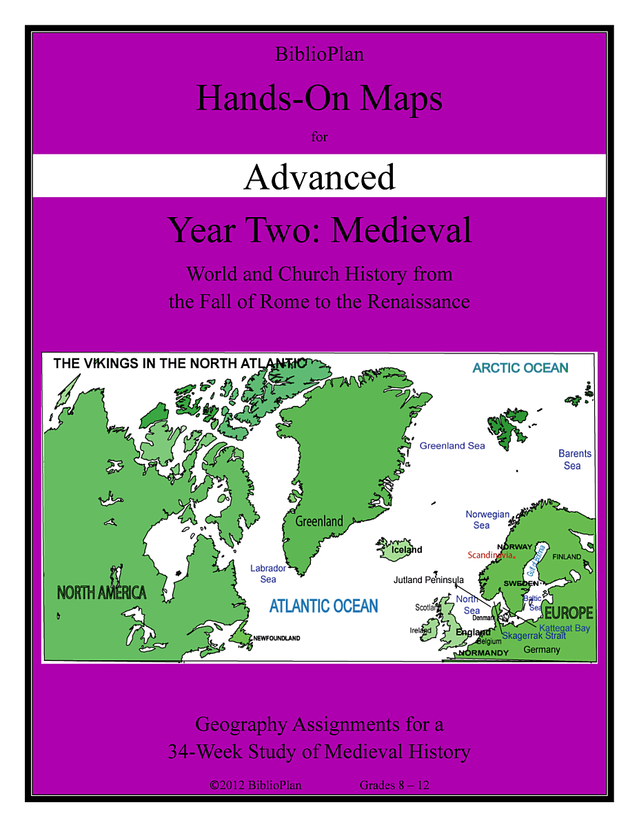
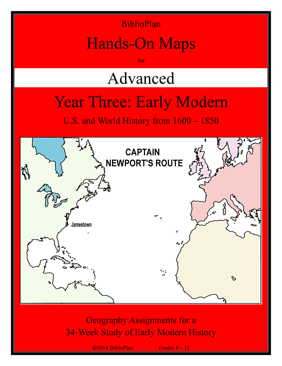
Hands-On Maps for Advanced, Grades 8 - 12
Hands-On Maps for Advanced are more serious maps for Consider the Years/Companion readers. They cover the same areas as the middles maps, but with longer directions and more detail.
Hands-On Maps for Advanced also includes pre-written tests for parents and teachers who wish to test.

Click the covers to see Hands-On Maps for Advanced sample pages:
FAQ about BP Hands-On Maps
Why Hands-On Maps?
- Because history and geography go hand-in-hand. Map work shows students where history happened and how geography can affect history.
- Because map work helps students grasp the flow of history. The lines on their maps change as they watch kingdoms rise and fall, and new ones rising from the ashes of the old.
- Because understanding geography helps students understand cultures. They see how different terrains and temperatures make for different kinds of people, and how those differences can affect history. For example, students who know the harsh climate of Mongolia can easily understand why the Mongols of medieval times were so harsh—which helps explain how the Mongol Empire grew so big, so fast.
- Because BP maps build over the course of each year, adding more and more to students’ geographical databases.
Which Hands-On Maps go with which textbooks?
Hands-On Maps for Middles is for Remember the Days readers, and Hands-On Maps for Advanced for Consider the Years/Companion readers.
Do I need a separate workbook for each student?
Because the work is done directly on the map, it’s easiest if each student has his or her own workbook.
